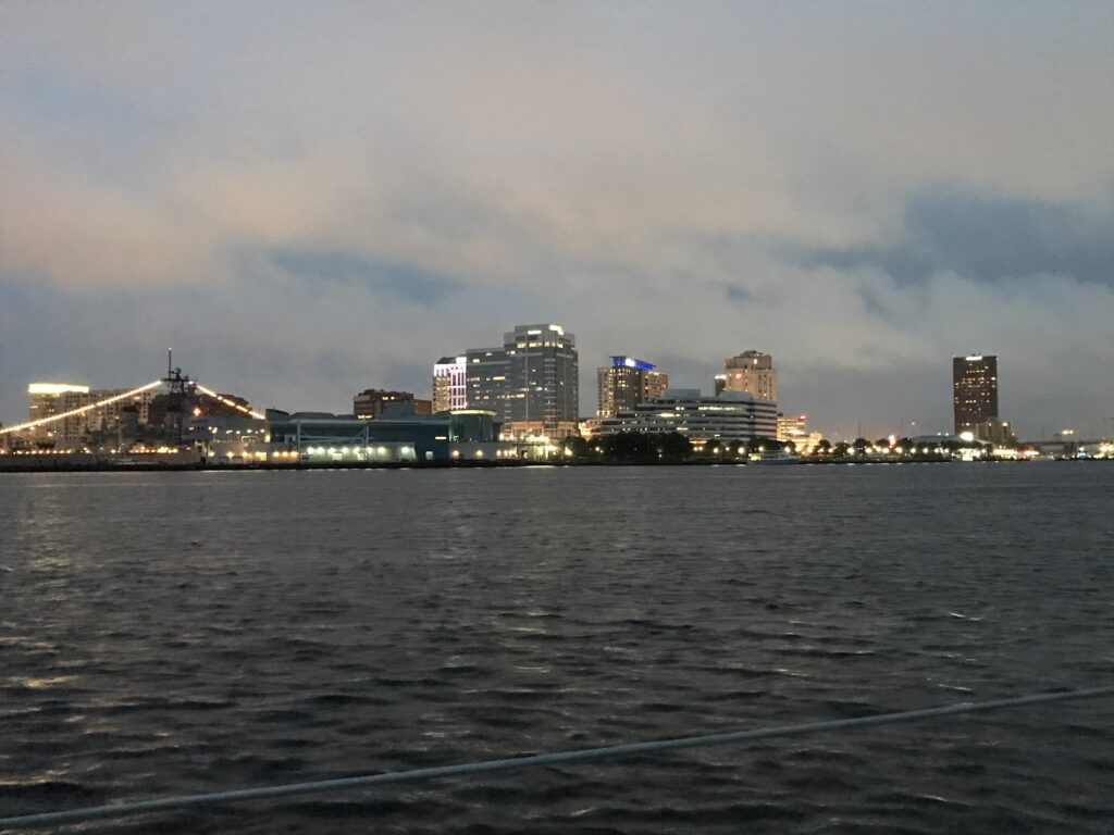
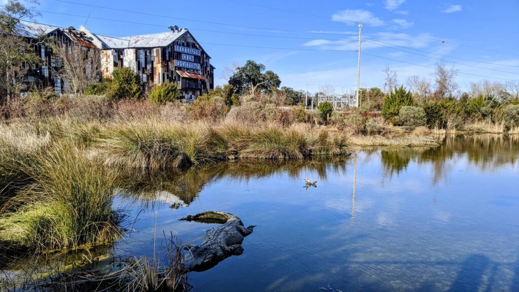
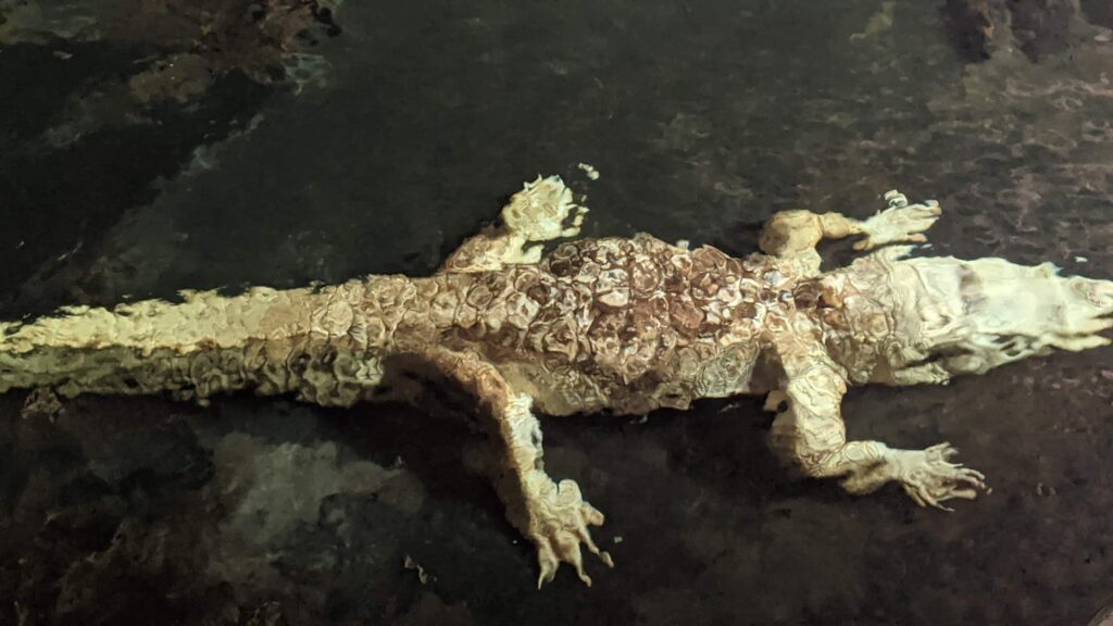
Norfolk

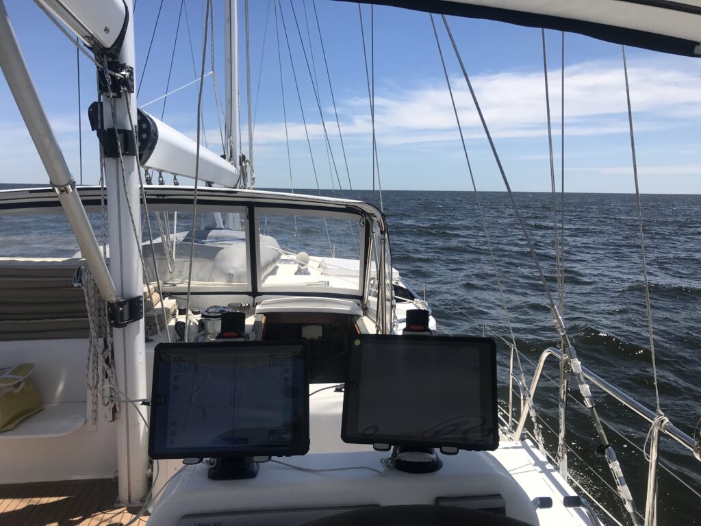
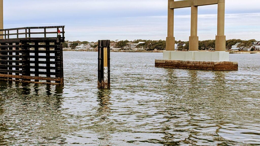
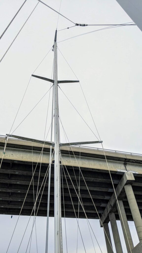
We spent last night at the Marina in Coinjock, NC where we enjoyed their signature prime rib dinner. We left Coinjock at 7:15 am and started across Currituck Sound just as a Thunder storm moved through. It rained hard and the lightning took out my masthead weather station. The storm didn’t last long but now I was without my wind speed and wind direction instrument. At 9:50 am we passed under the Pungo Ferry Bridge, the VHF antenna on top of the mast was doubled over and the mast just cleared by no more than an inch or two. The river was definitely high, low tide was predicted at 9:28 am but the local depth soundings were close to 2′ above charted depths. This is the last bridge that I have to worry about as all the bridges North of here are a good 65′ or higher above the water. We raced ahead to catch the scheduled openings of each swing bridge and passed through the Lock in the town of Great Bridge. We arrived at the Hospital Point anchorage in Norfolk at 2:20 pm. It had started to rain again but Demian and James wanted to get off the boat and visit the Naval Museum so I lowered the dinghy into the water and shuttled them from our anchorage across the Elizabeth River to the museum.

Norfolk Read More »

Pamlico Sound

May 30th, after spending a month in Vermont, I flew down to Baltimore, rented a car, picked up Demian and James at their home in Arlington and drove back down to the boat at River Dunes. After spending a day provisioning the boat we were ready to continue our trip North. We had a slight delay this morning after discovering a bird’s nest with 6 baby chicks nested about two feet up in the boat’s exhaust pipe. We very carefully slid the nest and young birds out and moved them to a secure location under the nearby dock steps. We were careful not to touch the nest or birds with our hands and we hope their Mother, who was watching us closely, will accept their new home. We could now start our engines and pull away from the dock, leaving River Dunes at 11:20 am. It was 70º and sunshine as we headed up Pamlico Sound. We arrived at Gull Island and anchored at 7:15 pm, just in time for dinner.

Pamlico Sound Read More »

River Dunes

We spent last night at Caspers Marina in Swansboro, NC and left at 7:28 this morning. We arrived at River Dunes Marina and Harbor Club at 2:38 pm. I’ll leave the boat here until the first of June while I drive my car back to Vermont, dropping Demian off at his home in Arlington.

River Dunes Read More »

Cape Fear River

Demian flew into Myrtle Beach yesterday to help me move the boat North. We left Barefoot Marina this morning at 7:10 am timing our passage to arrive at the Little River Highway Bridge at low tide. We cleared the bridge with at least 6″ to spare. We arrived at the Midnight Range anchorage on the Cape Fear River at 1:54 pm.

Cape Fear River Read More »

Still in North Myrtle Beach

The high water finally crest on Saturday at just over 18′ ( 3′ above flood stage ) and it is now just beginning to come down. Demian and James left for home on February 14th as it became clear it would be awhile before the water was low enough to allow passage under the bridges. It was really great having the two of them on board and spending a whole month together, we had a lot of fun. I will likely spend the rest of the Winter here and put off sailing to Florida and the Bahamas until next Winter. The weather here is warming up with some days in the low 70s. This is a pretty nice spot, close to everything I need. The beach is only a mile and half from here and there’s plenty of places to ride my bike.

Still in North Myrtle Beach Read More »

When will the waters subside?

We’re stuck in the marina waiting for the water level to drop below 12′ so our mast will pass safely under the Socastee Bridge.

It doesn’t look promising.

It could be a while, if historical data is any guide. On any given day, there is less than a one in three chance that the bridge will be passable. Once the water rises above 12′, it typically takes a month or more for the waters to fall back below 12′. The good news is that we are close to the line and it has been a month since the bridge was passable. The bad news is that it’s raining.

One year historical water levels (2/5/21 TTM) under the Socastee Bridge at low tide each day.
The red box represents water levels that are too high for Bonaventure.

When will the waters subside? Read More »

Stuck in North Myrtle Beach, S.C.

Demian, James and I arrived at Barefoot Marina in North Myrtle Beach and found the water level was too high to allow our mast to pass under the bridges South of us. I decided to rent a car so the three of us could explore the area while we wait for the water to recede.

Berthed directly behind us, the Barefoot Queen by the light of the full moon.
James enjoying time at the beach.
This guy has been waiting a long time for the barbecue joint to reopen.
The cajuns say that anyone who sees a Ghost Alligator will have a lifetime of good luck. You’re welcome.

Stuck in North Myrtle Beach, S.C. Read More »

Swansboro

Caspers

Caspers

Swansboro is a beautiful stop along the intracoastal. We docked at a marina apparently named after the friendly ghost whale of the Graveyard of the Atlantic. From the marina, we walked into town, enjoying the restaurants and tourist shops of this snug little fishing village.

James socializing with the Muscovy Ducks

The town, built around the colonial plantation of Theophilus Weeks, has little else of historic interest — beyond appearing in a Nicholas Sparks novel. But the fugly ducks that roost around the village are hard to miss.

Biggest Little Library in Swansboro

James found a library that was by far the largest mini-library we have ever encountered, and the beach offered a pleasant sunset view, complete with frolicking dolphins and palm trees.

Signs of warmer weather in Swansboro

Swansboro Read More »

64’4″ – Adam’s Creek to Swansboro

Air Draft Gauge Atlantic Beach Bridge

64’4″ is the most important number to remember when traveling on Bonaventure. That’s the distance between the waterline and the top of our mast. Allegedly the bridges of the intracoastal are built to a minimum height of 65′ — before accounting for settling and tides — so ripping off a mast would not be out of the question.

To avoid this delightful outcome, we left Adam’s Creek at the crack of dawn to clear the 4 bridges between our tight creek and our final destination in Swansboro.

A tight fit under the Atlantic Beach Bridge

The first three bridges we met at close to low tide before racing, hell for leather, up the 16 miles of the Bogue Inlet. We met the final bridge — just north of Swansboro — at mid-tide, and cleared by the scant hairs of our bald pates.

Ship wreck on Adam's Creek
Ship wreck on Adam’s Creek

64’4″ – Adam’s Creek to Swansboro Read More »